Research
Advancing knowledge in geodesy, GIS, remote sensing and geospatial infrastructure.
Knowledge for a better tomorrow
Research at the Institute of Geodesy and Geospatial Infrastructure focuses on scientific and applied work in geodesy, GIS, spatial analysis, Earth observation, land administration and modern geospatial technologies. Our research supports innovation, informed decision-making and sustainable spatial development.
Real-world impact
From scientific research to practical geospatial solutions.
Interdisciplinary collaboration
Working across disciplines and with academic and institutional partners.
Sustainable future
Using geospatial knowledge to support sustainable development.
Our key research areas

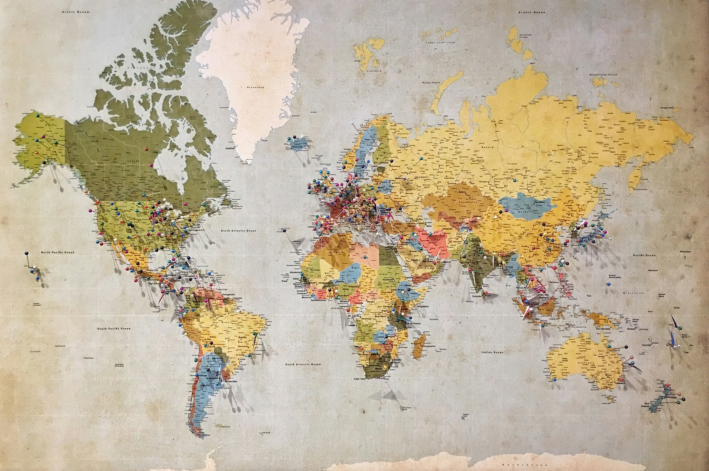

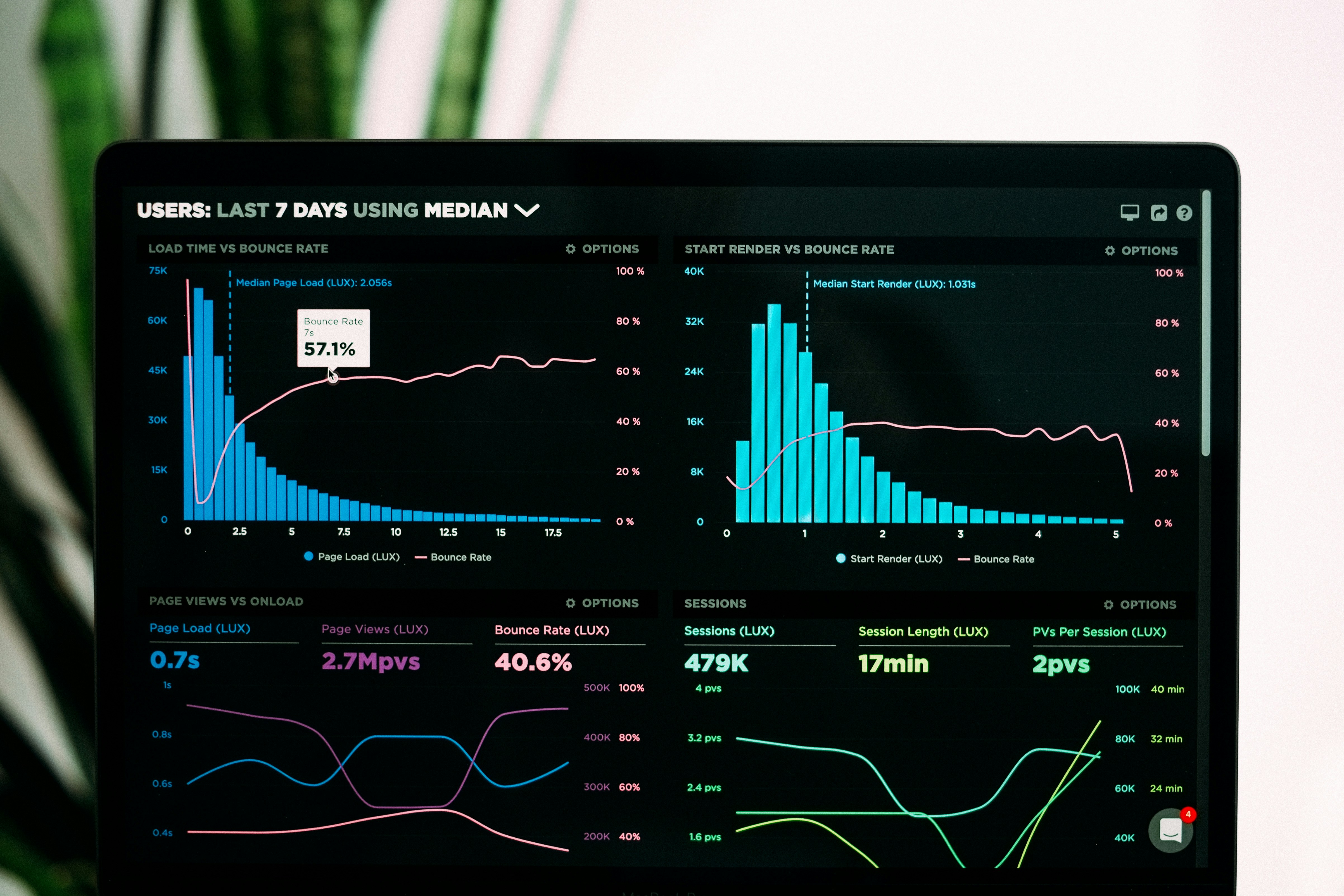
From ideas to impact
Ongoing Research
Explore current research projects and activities addressing key geospatial challenges.
View ongoing projects →Completed Research
Discover completed projects, research outputs and scientific outcomes.
View completed projects →Collaborative Projects
National and international cooperation with universities, institutions and partners.
View collaborations →Research outputs
Journal Articles
Peer-reviewed scientific publications.
Conference Papers
Contributions to national and international conferences.
Technical Reports
Technical studies, reports and documentation.
Books & Chapters
Academic books, chapters and educational material.
Academic engagement and knowledge exchange
Conferences
Scientific conferences and professional events.
Workshops
Training, practical sessions and knowledge exchange.
Seminars
Discussions and presentations on current research.
Guest Lectures
Lectures by invited academic and professional experts.
Supporting future geospatial professionals
Bachelor Theses
Browse bachelor thesis topics, ongoing research and completed student work.
View bachelor theses →Master Theses
Explore advanced geospatial research topics developed by master students.
View master theses →Interested in collaboration or research partnerships?
We welcome academic cooperation, interdisciplinary research and institutional partnerships.